Kuniezu Maps of the Genroku Era
09.20.2018

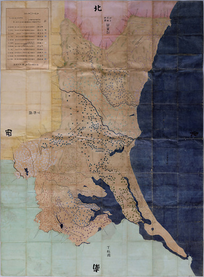
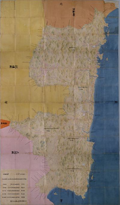
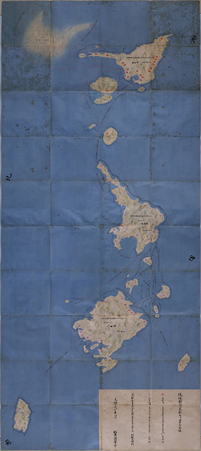
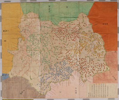
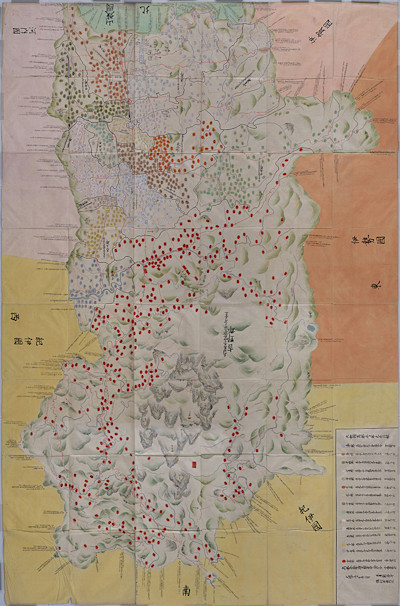
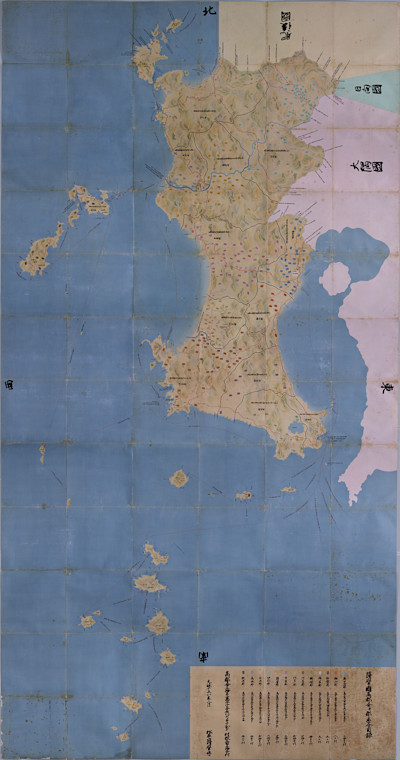
A captivating group of artworks in their own right, this series of Japanese provincial land maps offers a unique example of the socio-political influence on art. Known as “kuni-ezu” (which translates roughly to country-diagrams) these particular maps were commissioned by the shogunate of the Genroku era (1688-1704), which was a prosperous time in Japanese history. This prosperity afforded what has been described as a nothing short of a cultural renaissance; the merchant class was rapidly growing alongside a blooming penchant for the arts. Flourishing on the heels of a century of peace, the shogunate’s commission of these artistic maps reflects just that.
Observing these pieces from an artist’s perspective, these maps relay a deep understanding of color, form and composition. Though they were commissioned to geographically represent each county in Japan and to ultimately serve a practical purpose, the aesthetic beauty cannot be overlooked. Small inky circles notate the rice yields in each village, but they also form an incredibly beautiful repetitive pattern of sorts. The colors throughout are harmonious and balanced, but also daring and significant, and the spacing of the details speaks to an appreciation of composition first and foremost. The commissioned maps could very well have been colorless, technical, and bland, but the way in which these were crafted underscores a country’s special care to bring beauty to even the most standard things.
(All photos are from The National Archives of Japan and the maps are National Important Cultural Properties of Japan)